Products
The company focuses on the development of surveying and mapping instruments and technology
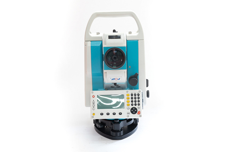
FOIF RTS-372 R10 Total Station
FOIF RTS-372R10 Total Station has new professional design and color matching, humanized design, in order to improve the efficiency and experience of surveyors, more than 30 design optimizations have been carried out on the whole machine.
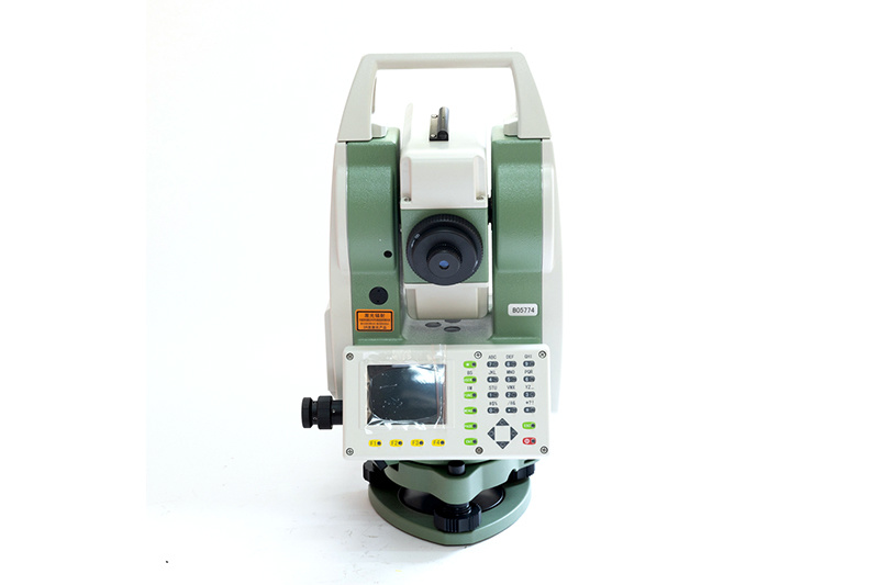
FOIF RTS-342 R10 Total Station
Our company can support you with this kind of surveying & mapping instrument. Here you can get a view of some hot-selling and high-quality model:
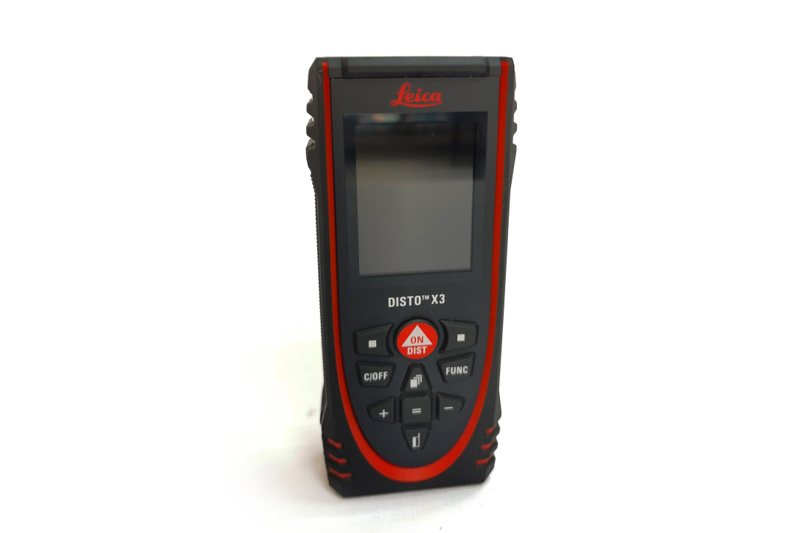
Leica DISTO X3 Laser Distance Meter / Rangefinder
The X3 is our first DISTO that is compatible with the DST 360, a smart tripod and adapter set that extends the measurement possibilities of your X3. With the DST 360, your X3 turns into a professional measurement station-you can take point to point (P2P) measurements from one location.
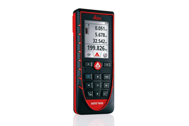
Leica DISTO D510 Laser Distance Meter / Rangefinder
The D510 can handle many types of measurement tasks that AEC professionals regularly need to complete. It covers the basics but also includes more advanced features, like Smart Horizontal and Height Tracking. And it excels at complex measurements such as our Trapezium Function, which allows you to measure the slope, length, and area of a roof from one location.
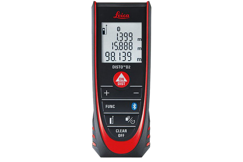
Leica DISTO D2 Laser Distance Meter / Rangefinder
If you'll be taking measurements often enough indoors to require precise accuracy, and if you need extra functions for different types of measurements, like corner measurements, then the D2 is a great choice for functionality and value.
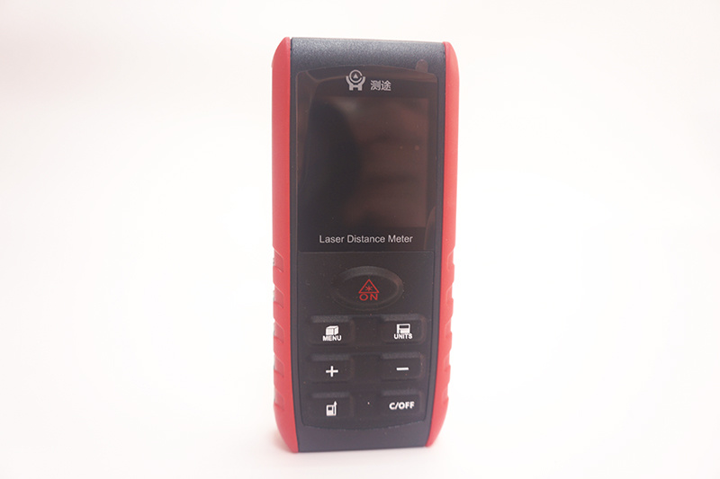
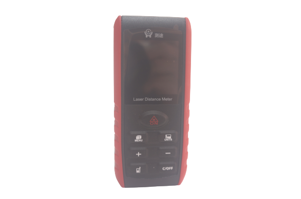
Cetu CT-100 Range Finder/ Laser Distance Meter
1.Reasonable data storage, can store 20 sets of data. 2.Low power consumption, using two fully charged batteries can measure more than 5000 times, which is a good way to extend the battery life.
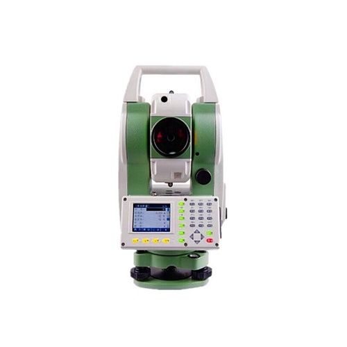
TOTAL STATION
The company focuses on the development of surveying and mapping instruments and technology
The D510 can handle many types of measurement tasks that AEC professionals regularly need to complete. It covers the basics but also includes more advanced features, like Smart Horizontal and Height Tracking. And it excels at complex measurements such as our Trapezium Function, which allows you to measure the slope, length, and area of a roof from one location.
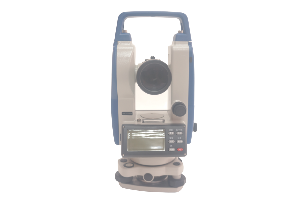
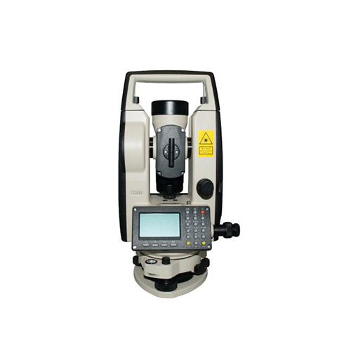
THEODOLITE
The company focuses on the development of surveying and mapping instruments and technology
The D510 can handle many types of measurement tasks that AEC professionals regularly need to complete. It covers the basics but also includes more advanced features, like Smart Horizontal and Height Tracking. And it excels at complex measurements such as our Trapezium Function, which allows you to measure the slope, length, and area of a roof from one location.
Application
Business services
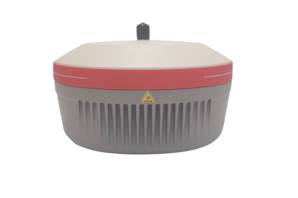
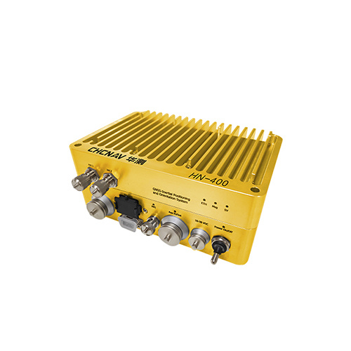
GNSS RTK
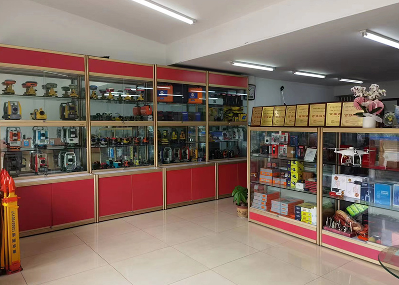
Nanjing geodesic surveying and Mapping Instrument Co., Ltd. was established in 2015, formerly known as Nanjing Jingwei surveying and mapping instrument sales service center (established in 1992), which was originally an external sales service platform directly under Nanjing surveying and mapping instrument factory
News
Focus on current affairs and news

Product
Contacts
Address: No. 36 Xinmofan Road, Gulou, Nanjing, Jiangsu
Copyright © NANJING CETU COMPANY INTRODUCTION All rights reserved 备案号:苏ICP备15054697号-3 SEO Power by:300.cn
