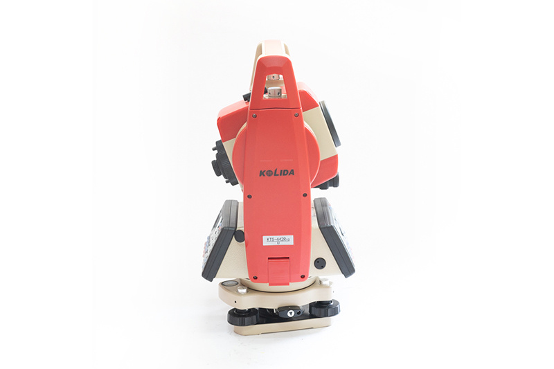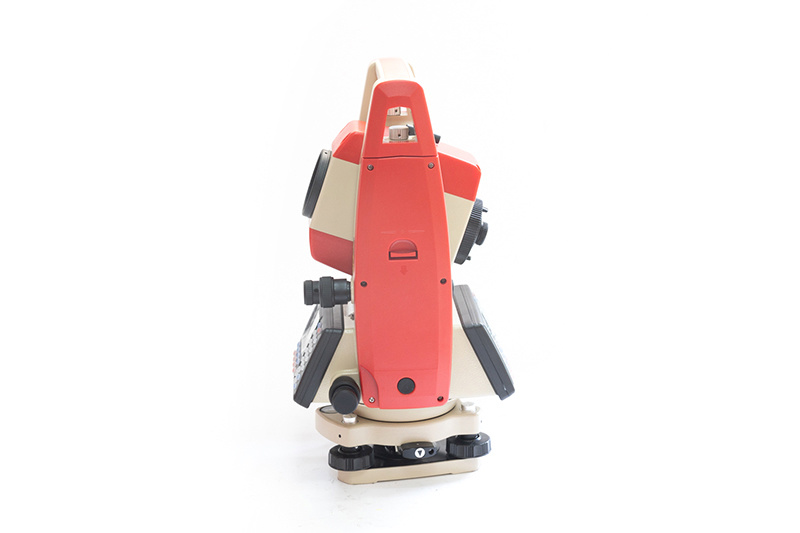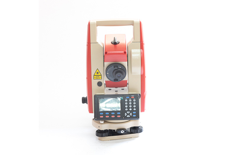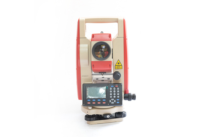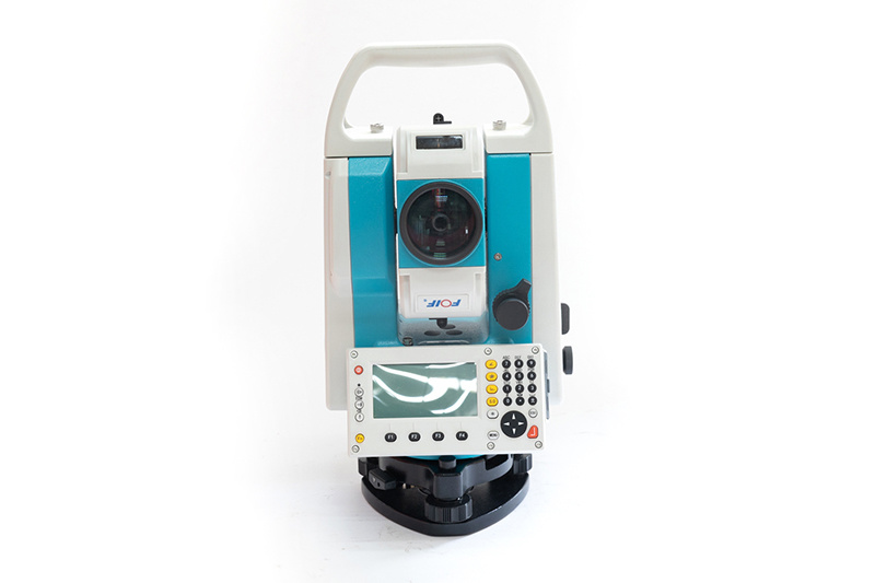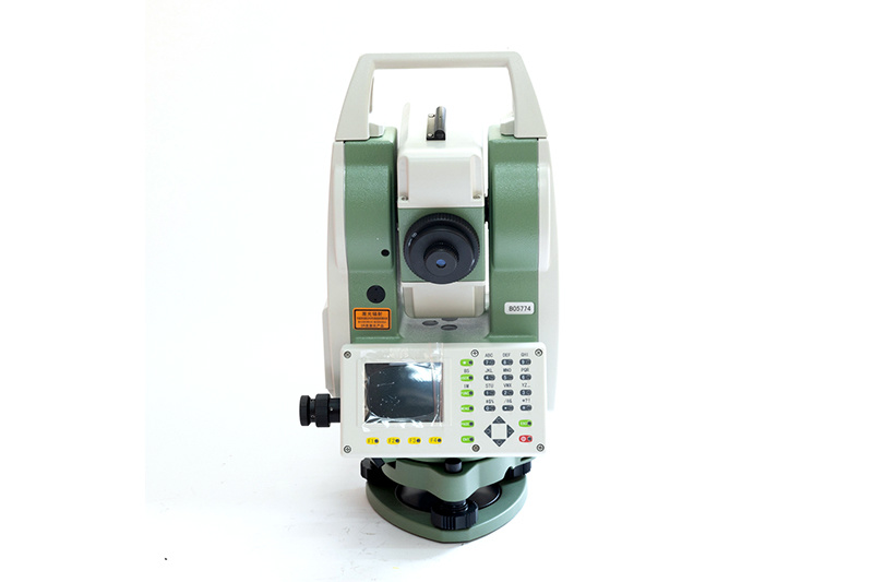
Kolida KTS-442 R10U Total Station
Product description
Product Details
1. International advanced dual-axis compensation technology to automatically eliminate errors and compensate to improve accuracy. Graphical electronic bubbles at a glance.
2. A new quick measurement button is added, and the measurement can be started by simply pressing the black circular measurement button on the side of the total station.
3. The serial port SD card is upgraded to a U disk interface, and data import and export are carried out through the U disk, which is convenient and fast.
4. The built-in bluetooth can communicate with the mobile terminal in real time; it can be seamlessly connected with the mobile phone surveyor software to realize the uploading and uploading of files; through the transmission software, the data can be exchanged with the PC terminal.
5. The battery compartment on the side of the total station keeps improving. The built-in battery compartment is designed for easy access and buckle, which is safe and reliable.
|
Basic Properties |
|
|
Data Transmission |
U disk interface, built-in standard Bluetooth |
|
Index difference 2C correction |
Automatic Correction |
|
Telescope |
|
|
Image |
Erect |
|
Lens barrel length |
154mm |
|
Magnification |
30X |
|
Objective Lens Effective Aperture |
45mm |
|
Resolution |
3'' |
|
Field of Angle |
1°30′ |
|
Minimum Focus Distance |
1.2m |
|
Angle Measurement |
|
|
Angle Measure Method |
Absolute Encode |
|
Code Disc Diameter |
79mm |
|
Angle Measure Precision |
2″ |
|
Reading |
1″,5″ |
|
Distance Measurement |
|
|
Single Prism |
5 km |
|
Non-prism |
1 km |
|
Index difference 2c correction |
Automatic correction |
|
Measuring time |
Fine mode: 0.3s |
|
Reading |
Maximum: 99999999.9999m |
|
Precision |
With prism: 2+2ppm |
|
Atmospheric Correction |
Auto Correction |
|
Prism constant Correction |
Auto Correction |
|
Automatic Vertical Compensation |
|
|
System |
Dual-axis Liquid-electric Sensor Compensation |
|
Working Range |
±4′ (±6′ optional) |
|
Resolution |
1″ |
|
Level |
|
|
Long Level |
30″/ 2mm |
|
Circle Level |
8′/ 2mm |
|
Optical Plummer |
|
|
Image |
Erect |
|
Magnification |
3X |
|
Focusing Range |
0.5~∞ |
|
Field of view |
5° |
|
Laser Plummer |
|
|
Plummer Precision |
±1.5mm at 1.5m |
|
Brightness |
With brightness adjustment function |
|
Physical Characteristics |
|
|
Battery |
Rechargeable Lithium Battery, 3100mAh |
|
Voltage |
DC 7.4V |
|
Continous Working Time |
About 10 hours |
|
Size & Weight |
|
|
Size |
190X190X350mm |
|
Weight |
5.6kg |
Nanjing Cetu Surveying Instrument Co., Ltd. was founded in 2015. Our company is known as Nanjing Jingwei Surveying Instrument Sales and Service Center (founded in 1992), which was the former sales & service platform of Nanjing Surveying instrument Factory.
The main products of our company includes GNSS receiver, total station, laser distance meter, theodolite, level, walkie talkie, etc. Our company has distribution rights of FOIF, Hi-Target and many other domestic well-known brands. In addition, Trimble(America) authorized our company as a special contractor.
Over the decades, we have established great credit in the business, and we got the support of global users. "Quality first, customer first", we will always do our best to provide professional services for our customers.

Product
Contacts
Address: No. 36 Xinmofan Road, Gulou, Nanjing, Jiangsu
Copyright © NANJING CETU COMPANY INTRODUCTION All rights reserved 备案号:苏ICP备15054697号-3 SEO Power by:300.cn


