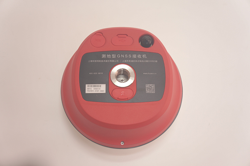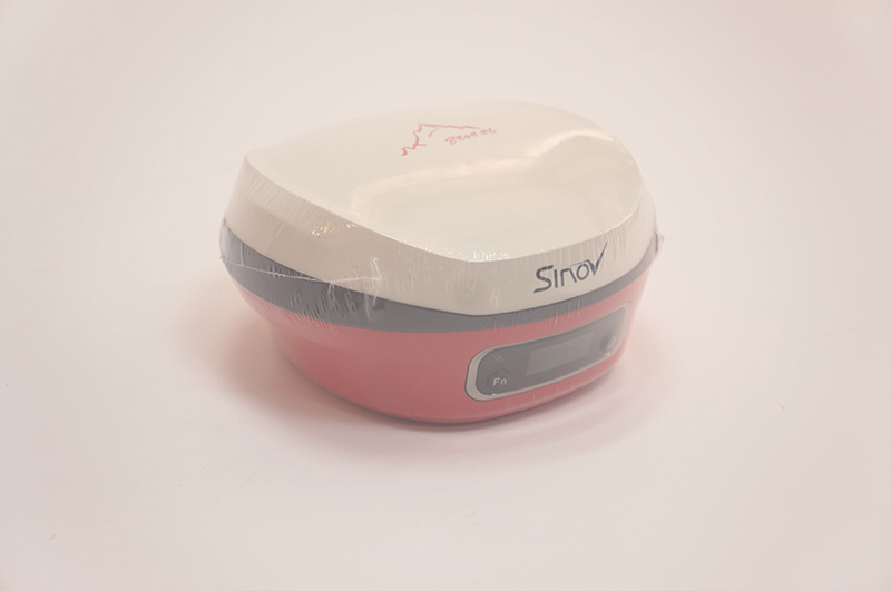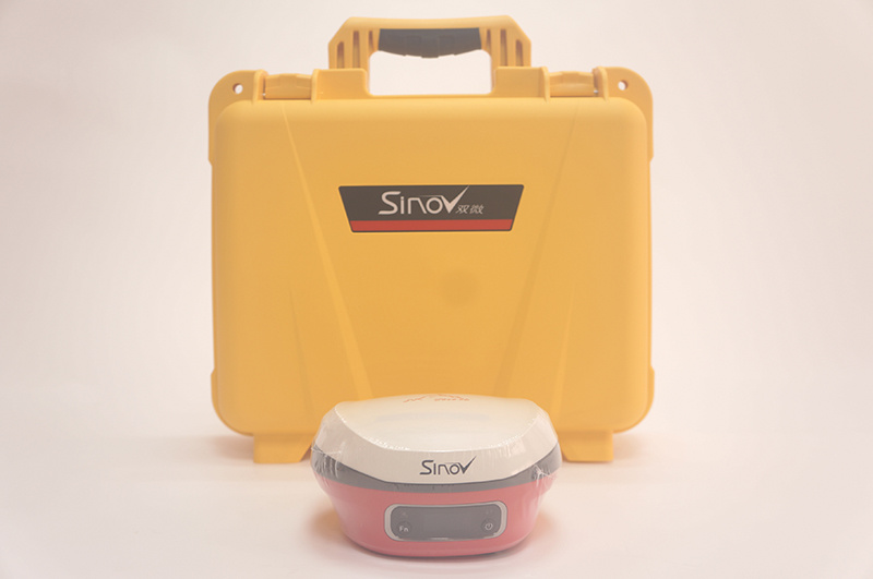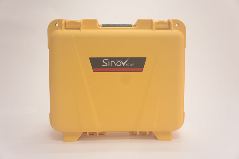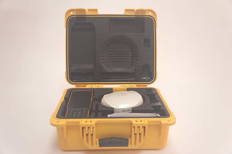
CHCNAV Sinov M7 GNSS Receiver
Product description
Product Details
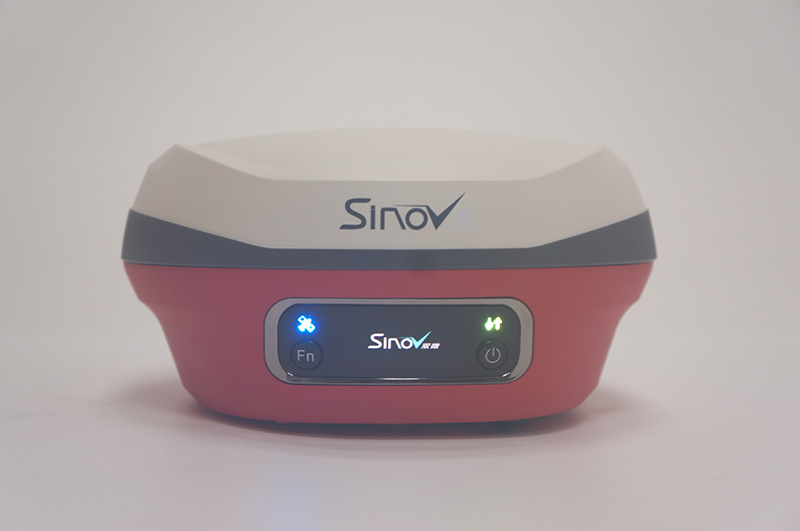
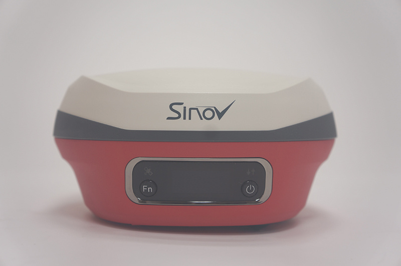
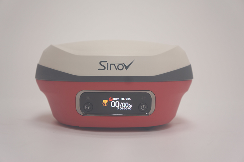
CHCNAV Sinov M7 is an innovative RTK product that incorporates AI technology. M7 adopts a new intelligent design. Users can log in to CORS services with one click, or adapt to RTK 1+1 mode with one click.
At the same time, it supports high-definition near-retina resolution LCD color screen, and the instrument status is clear at a glance.
Combined with the latest AI technology of CHCNAV, M7 can realize the service of automatically compiling road data, allowing users to say goodbye to the cumbersome and time-consuming engineering problems of compiling data.
|
Satellites and Accuracy |
Satellite system |
GPS+BDS+Glonass+Galileo+QZSS, |
|
Channels |
1408 |
|
|
Initialize reliability |
99.9% |
|
|
RTK precision |
Horizontal accuracy:±(8 + 1.0×10⁻⁶×D) mm |
|
|
Vertical accuracy:±(15 + 1.0×10⁻⁶×D) mm |
||
|
Static precision |
Horizontal accuracy: ±(2.5+ 0.5×10⁻⁶×D) mm |
|
|
Vertical accuracy: ±( 5 + 0.5×10⁻⁶×D) mm |
||
|
GNSS + inertial navigation |
IMU update rate |
200Hz |
|
Tilt angle |
0-60° |
|
|
Tilt compensation precision |
10 mm + 0.7 mm/° tilt |
|
|
User interaction |
LCD screen |
Quasi-retina screen, |
|
Indicators |
1 satellite indicator |
|
|
Buttons |
Fn function key + power/confirm key |
|
|
Webpage |
Support PC/mobile web pages |
|
|
Voice |
Support hand-controller voice broadcast |
|
|
Physical characteristics |
Size |
Φ152mm*78mm |
|
Weight |
1.15Kg |
|
|
Material |
Magnesium alloy |
|
|
Working temperature |
-45ºC~+75ºC |
|
|
Storage temperature |
-55ºC~+85ºC |
|
|
Anti-breathing membrane |
Prevent water vapor from entering the equipment in harsh environments such as sun exposure and sudden heavy rain |
|
|
Waterproof and dustproof |
IP68 (Protection against 1 meter immersion in water for 30 minutes) |
|
|
Anti-collision |
IK08(It will not be damaged by the same mechanical impact force as a 2.5 kg steel ram, and it will resist a 3-meter drop) |
|
|
Electrical performance |
Fast charge |
Up to 15w fast charge |
|
External power supply |
(9-28)V DC |
|
|
Storage |
8GB |
|
|
Electronic bubble |
Support |
|
|
Wireless communication |
Wireless connection |
Support NFC, support Bluetooth, |
|
Network |
4G full Netcom |
|
|
Radio |
Built-in transceiver station, |
|
|
Support CTI/TT450/Transparent Transmission Protocol |
||
|
Hand-controller |
Type |
HCE600 Android |
|
Operating system |
Android 10 |
|
|
CPU |
Octa-core 2.0GHz processor |
|
|
Network |
4G full Netcom, built-in eSIM for three years of surveying and mapping traffic |
|
|
LED screen |
5.5'' HD display |
|
|
Battery |
Continuously work 14 hours |
|
|
Waterproof & Dustproof |
IP68 |
|
|
Advanced functions |
Online upgrade |
Support remote push receiver upgrade |
|
Smart function |
Support super double transmission, |
|
|
Smart service |
Support cloud service, |
|
|
Provide intelligent road data editing function |
Nanjing Cetu Surveying Instrument Co., Ltd. was founded in 2015. Our company is known as Nanjing Jingwei Surveying Instrument Sales and Service Center (founded in 1992), which was the former sales & service platform of Nanjing Surveying instrument Factory.
The main products of our company includes GNSS receiver, total station, laser distance meter, theodolite, level, walkie talkie, etc. Our company has distribution rights of FOIF, Hi-Target and many other domestic well-known brands. In addition, Trimble(America) authorized our company as a special contractor.Over the decades, we have established great credit in the business, and we got the support of global users. "Quality first, customer first", we will always do our best to provide professional services for our customers.

Product
Contacts
Address: No. 36 Xinmofan Road, Gulou, Nanjing, Jiangsu
Copyright © NANJING CETU COMPANY INTRODUCTION All rights reserved 备案号:苏ICP备15054697号-3 SEO Power by:300.cn
