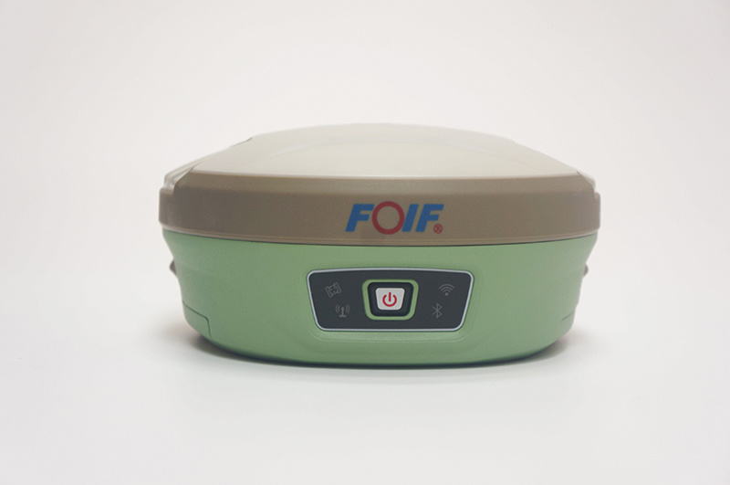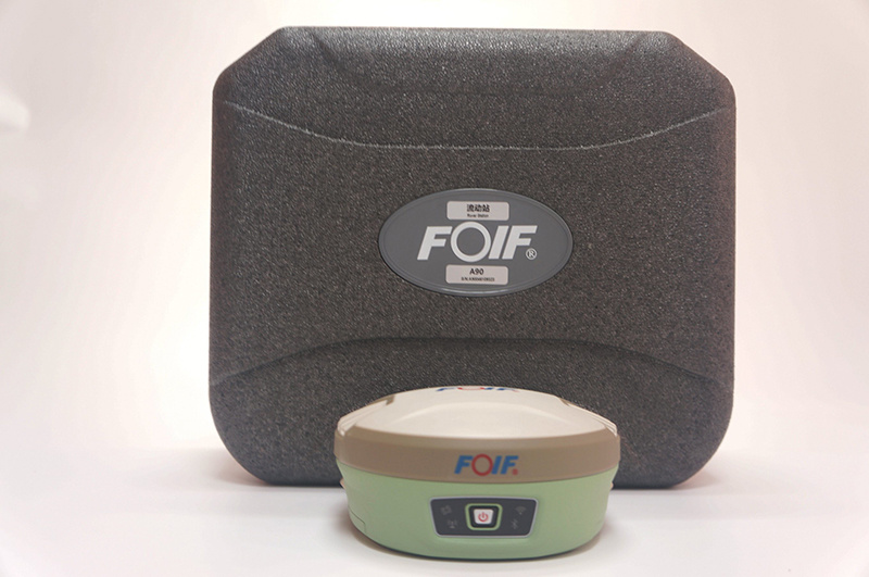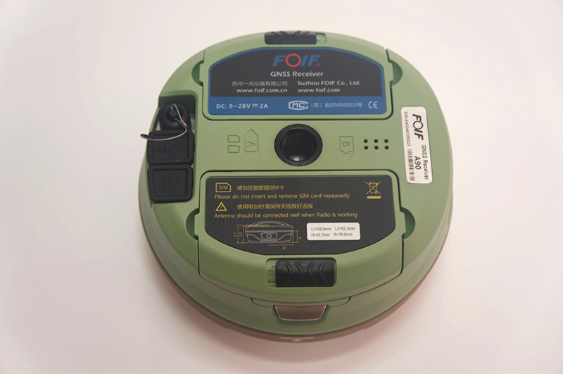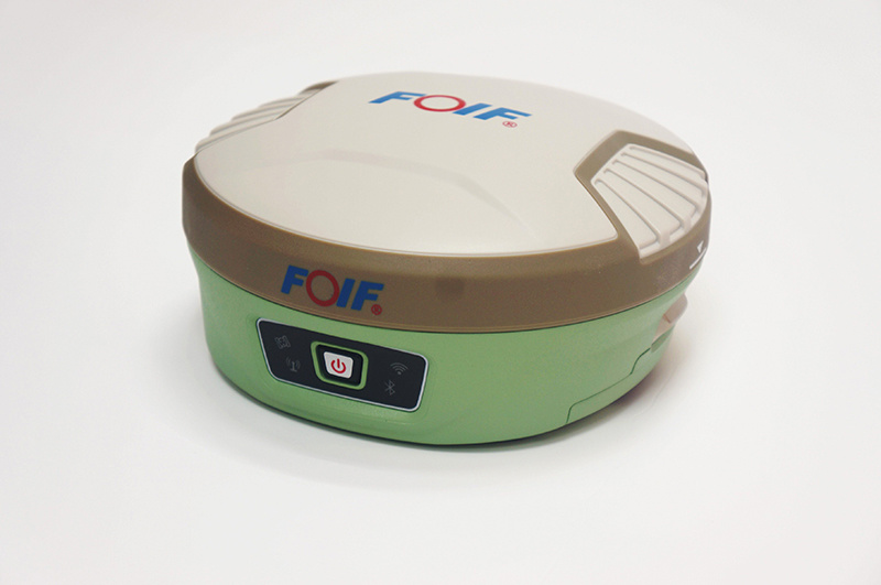
FOIF A90 GNSS Receiver
Product description
Product Details
Nanjing Cetu Surveying Instrument Co., Ltd. was founded in 2015. Our company is known as Nanjing Jingwei Surveying Instrument Sales and Service Center (founded in 1992), which was the former sales & service platform of Nanjing Surveying instrument Factory.
The main products of our company includes GNSS receiver, total station, laser distance meter, theodolite, level, walkie talkie, etc. Our company has distribution rights of FOIF, Hi-Target and many other domestic well-known brands. In addition, Trimble(America) authorized our company as a special contractor.
Over the decades, we have established great credit in the business, and we got the support of global users. "Quality first, customer first", we will always do our best to provide professional services for our customers.
|
Type |
A90 |
|||
|
GNSS System |
800 channels |
|||
|
Performance |
Static measurement plane accuracy |
±(2.5mm + 0.5ppm)RMS |
||
|
Static measurement elevation accuracy |
±(5mm + 0.5ppm)RMS |
|||
|
RTK measurement plane accuracy |
±(8mm + 0.5ppm)RMS |
|||
|
RTK measurement elevation accuracy |
±(15mm + 0.5ppm)RMS |
|||
|
SBAS postion(typical) |
0.5m |
|||
|
Initialization time |
<10s |
|||
|
Initialization reliability |
>99.99 |
|||
|
Environment |
Working temperature |
-30ºC~ +60ºC |
||
|
Storage temperature |
-40ºC~ +80ºC |
|||
|
Water-proof & Dust-proof |
IP68 |
|||
|
Drop resistance |
2 meters at normal temperature |
|||
|
Humidity |
Anti-condensation |
|||
|
Storage/data |
Built-in storage |
Onboard 8G, Support TF card expansion≥32G |
||
|
Differential output |
RTCM2.3, RTCM3.X, RTCM3.2, CMR, CMR+,RTCA |
|||
|
Data safety |
Data will be stored and backed up in three places after surveying |
|||
|
Satellite Antenna |
High performance 4 in 1 antenna: |
|||
|
Wireless communication |
Bluetooth |
Built-in V2.0 Class2 |
||
|
WIFI |
Directly connected to the handheld controller via wifi instead of bluetooth, support web UI wireless management: device upgrade, data download, parameter setting, station operation, etc. |
|||
|
Communication protocol |
PCC-EOT, TrimTalk 450S, TrimMark III,South,GeoTalk,GeoMark,Satel,HI-TARGET,ect. |
|||
|
UHF radio |
Bulit-in transceive |
0.5/2W |
Effective distance≥5km |
|
|
External transmit |
2/35W |
Effective distance≥15km |
||
|
Working Frequency |
410-470MHz |
|||
|
Physical and Power Characteristics |
Size |
Φ15.6cm×7.6cm |
||
|
Material |
Lower cover is magnesium alloy, Top cover is polymer plastic |
|||
|
Battery volume |
7.4V×3700mAH×2, Intelligent lithium battery, self power display |
|||
|
User interface |
4 LED indicators, 1 button,voice |
|||
|
Working time |
>8 hours |
|||
|
Auxiliary function |
Electronic bubble, 2nd generation tilt survey function |
|||

Product
Contacts
Address: No. 36 Xinmofan Road, Gulou, Nanjing, Jiangsu
Copyright © NANJING CETU COMPANY INTRODUCTION All rights reserved 备案号:苏ICP备15054697号-3 SEO Power by:300.cn


